 GoodStudy
Handwritten notes
Illustrated, exam-focused notes for quick understanding.
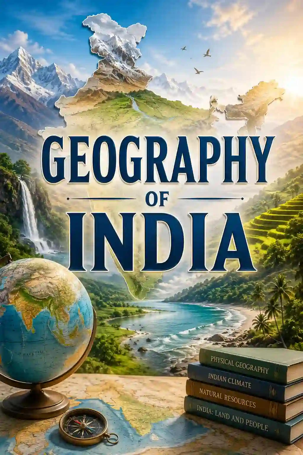
Landforms, rivers, climate and resources of India — mapped for exams.
Indian geography covers the country's physical features, drainage, climate, soils, vegetation, agriculture, minerals and industries. It is highly map-based, so visual learning helps the most.
India covers about 32.87 lakh sq km — the 7th largest country, about 2.4% of the world's land area.
India lies entirely in the Northern Hemisphere; the Tropic of Cancer passes through 8 states.
The Standard Meridian of India (82°30′ E) passes through Mirzapur in Uttar Pradesh.
India's longest land border is with Bangladesh.
Anamudi (2,695 m) in Kerala is the highest peak of Peninsular India.
The Ganga is India's longest river; the Godavari is the longest peninsular river, called the "Dakshin Ganga".
The Narmada and Tapi flow westward through rift valleys into the Arabian Sea.
Mawsynram in Meghalaya receives the highest average rainfall in India.
Alluvial soil is the most widespread soil; black (regur) soil is best suited for cotton.
Jim Corbett (1936) is India's first national park.
Rajasthan is the largest state by area and Goa the smallest.
Indira Point in the Andaman & Nicobar Islands is the southernmost point of India; the Palk Strait separates India and Sri Lanka.
SSC-level notes — tap a topic to open it.
Full chapter notes, mind maps, topic-wise quizzes and mock tests for every subject — one Pro plan unlocks them all.
Keep a blank map of India beside you and mark everything you read.
Learn rivers with their origin, tributaries and the states they flow through.
Make crop and mineral tables with leading producer states.
Revise national parks, passes and lakes with a map-based quiz.
"Which state is the largest producer of…" and river-tributary questions are exam favourites.
Illustrated, exam-focused notes for quick understanding.
Revise whole topics at a glance before the exam.
Practise each topic with instant scores and explanations.
Fresh questions every day to keep revision consistent.